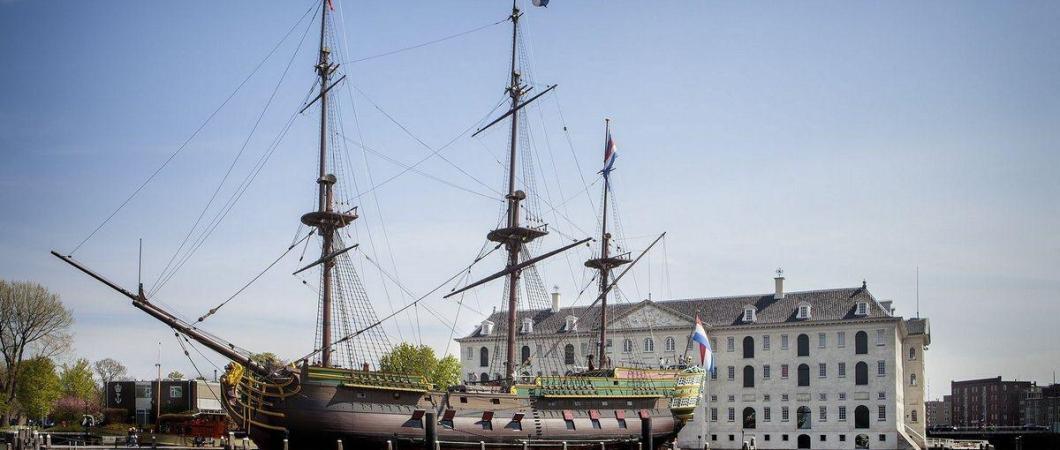
The National Maritime Museum in Amsterdam (Het Scheepvaartmuseum) will open two brand new semi-permanent displays of its collection in May: Republic at Sea and Maps & Marvels.
The museum’s Main Gallery will host Republic at Sea, which will display paintings, ship models, instruments, and weapons illustrating how intimately Dutch society has been connected with the maritime world throughout the seventeenth and eighteenth centuries.
In Maps & Marvels, visitors will learn how Dutch ships sailing from Amsterdam came into contact with different parts of the world for the first time. On their return, they brought the knowledge of the wider world back to Amsterdam and, Europe.
The ‘Maps’¹ part of the exhibition will bring together rare and early maps by Dutch cartographers from the National Maritime Museum’s world-leading collection. This exhibition will show how the ships found their way at sea in the Dutch Golden Age to the locations that played an important role in the Dutch history: South Africa, Indonesia, Japan, Australia, and Brazil.
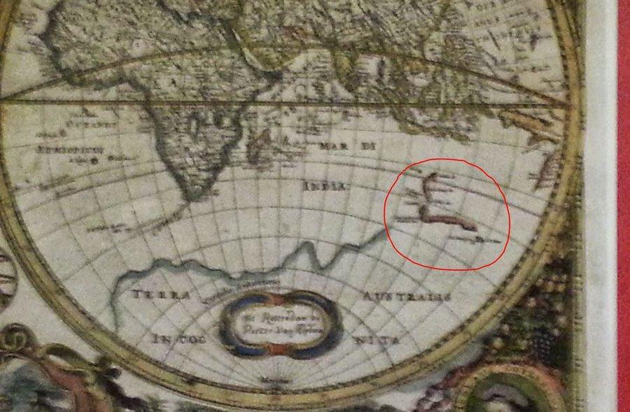
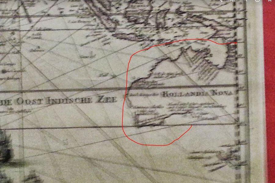
If this includes some of the maps, which I believe were part of the National Collection on loan to the Rotterdam Maritime Museum in 2013 for their Mercator exhibition, then visitors are in for a treat. In those days I had a rubbish mobile phone that took out-of-focus photos, but you may get a sense of their significance from this set of maps which literally filled in the coast of New Holland (Australia) as they discovered it in expeditions over the years…
The second part of this exhibition, titled ‘Marvels’, will present a treasure room filled with beautiful and eye-catching objects, through which the whole world was brought into wealthy Dutch homes in the Dutch Golden Age. Here visitors will find wall maps, globes, atlases, and travel reports as well as souvenirs, trinkets, works of art, all of which reflect the journeys that make up the first part of the exhibition.
The National Maritime Museum will re-open, with its new galleries, to the public on 10 May 2019.
¹ We should call them “charts” not “maps”, but I’m using the museum’s descriptions & names here.
